EN ▾
All-sky — the whole visible sky in one frame
An all-sky view shows the entire hemisphere above you at once, horizon to horizon. It distorts shapes near the edge in exchange for showing everything.
An all-sky view is one showing the whole visible hemisphere at once — from the horizon in every direction up to the zenith — flattened onto a disc. The term is standard: all-sky cameras and all-sky surveys mean the same thing. This app's sky chart is one.
The trade
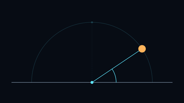
No flat picture can show a hemisphere without distorting something. This chart is azimuthal equidistant, which makes a deliberate choice about what to keep: distance measured in from the rim, towards the centre is exactly true everywhere, so the altitude scale is uniform and can be read straight off. What gives way is shape. Near the horizon everything is smeared sideways around the rim — by about 11% at 45° altitude, and by around 57% at the horizon itself — so a circular object low in the sky is drawn as a noticeably wide ellipse.
Nothing is squashed. The stretch is always outwards along the rim, never inwards.
That is the right trade for the question the chart answers — where in the sky is this, relative to everything else — and the wrong one for judging the true angle between two low objects. For that, the numeric altitude and azimuth readouts are what to use.
Reading it
The centre is straight up and the outer circle is the horizon. All four cardinal points are marked, with north at the top and east on the right — so azimuth runs clockwise round the rim, north through east, matching the numbers in the readouts.
Note that this is the mirror of a photograph. A fisheye lens pointed at the zenith and printed north-up puts east on the left, because you are looking up at the dome rather than down onto it. This chart is drawn map-wise, which is the more useful convention when the point is to compare it against a map and a compass.
Because the radial scale is uniform, an object exactly halfway between the centre and the rim is at exactly 45° altitude — not approximately. The chart also carries the Sun's and Moon's tracks over ±12 hours, rings at 30° and 60°, and a background that lightens with the Sun's altitude.
Related
Updated 13 August 2026.