EN ▾
How to read an eclipse path map
The line is where totality lasts longest, the band around it is where totality happens at all, and the wide outer region is where you see a partial eclipse. Three different claims, drawn together.
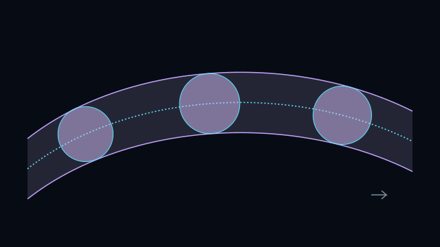
An eclipse map carries three separate claims in one picture, and they are easy to conflate. From the inside out:
- The centre line is the track of the shadow's axis across the ground. It is where totality lasts longest, and it is a line rather than a region — being on it is worth seconds, not the difference between seeing an eclipse and not.
- The path of totality is the band either side of that line where the umbra actually reaches the ground. Its edges are the limits, and they are sharp: a few kilometres outside, totality does not happen at all.
- The outer region, often drawn as contours, is where a partial eclipse is visible. It is thousands of kilometres across and shades continuously from a deep partial near the path to a barely detectable nick at the edge.
Why the band is wider than the shadow
The umbra is a cone with a roughly circular cross-section, but the ground it lands on is a sphere and it usually lands at an angle. A shadow falling steeply near local noon makes a near-circular footprint; one falling obliquely near sunrise or sunset smears into a long ellipse that can be several times wider.
That is why a path is narrow near the middle of its track and flares at both ends, and why the width quoted for an eclipse — the one at greatest eclipse — is not the width where you happen to be standing. Every pair page here gives the width at that city's closest approach, which is the number that matters if you are deciding how far to drive.
Why the path ends where it does
A track does not stop because the eclipse stops; it stops because the shadow has run off the edge of the visible Earth. The two ends of a path are where the umbra first touches and last leaves the ground, and at both the Sun is on the horizon — a total eclipse seen at sunrise or sunset, with the corona rising out of the landscape.
The curved boundary the outer contours run into is the terminator, the day–night line. Outside it the Sun has not risen or has already set, and there is nothing to see whatever the Moon is doing.
The one thing a flat map distorts
Every flat map of a track is a projection of a curve on a sphere, and near the poles it will exaggerate distances badly. A track that looks like it sweeps half of Siberia may be a few hundred kilometres wide throughout. Where a distance matters, take it from the number rather than from the picture — which is why every page here prints one.
Related
Updated 25 August 2026.